


Wayne National Forest - Leith Run Recreation Area

| Leith Run Recreation Area at a Glance | |||
| Date established: | |||
| Miles of available trails: | miles ( kilometers) | ||
| Boat ramps: | One, on Elephant Run close to Ohio River | ||
| Hunting: | All hunting allowed in national forest, not in recreation area land southeast of Ohio State Route 7 | ||
| Nearby open-space areas: | Wayne National Forest: Marietta District Lamping Homestead Recreation Area | ||
| National Forest website: |
| Park phone number: | | |
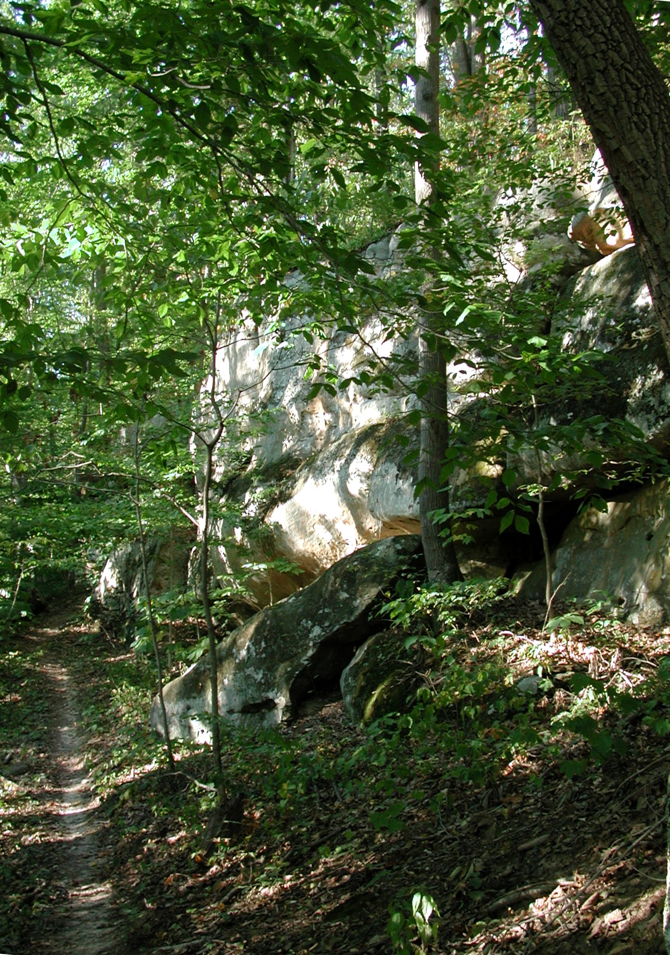
A loop bicycle trail, the River Scenic Loop Trail, connects to the Scenic River Trail near the bottom and at the top of the hill. This is a 6.5-mile trail that loops back and forth across the hillsides. The first half of this, from the bottom fork near OH-7, is a pleasant hike, up to the long rock bluff overlooking the trail. This trail is not shown on many maps.

Trails Accessible from Leith Run Recreation Area
- Scenic River Trail
- River Scenic Loop Trail
- North Country National Scenic Trail
- North Country Connector Trail (to Covered Bridge Trail)
- Covered Bridge Trail
- Archers Fork Trail
- Archers Fork Loop - Ohio View Connector Trail
- Ohio View Trail
- River Scenic Loop Trail
Directions to Leith Run Recreation Area
Leith Run Recreation Area: Take US-50 east and continue on OH-7 after US-50 turns off. Take OH-7 about another 40 miles through Marietta to the turnoff; look for signs; the turnoff will be on the right.
