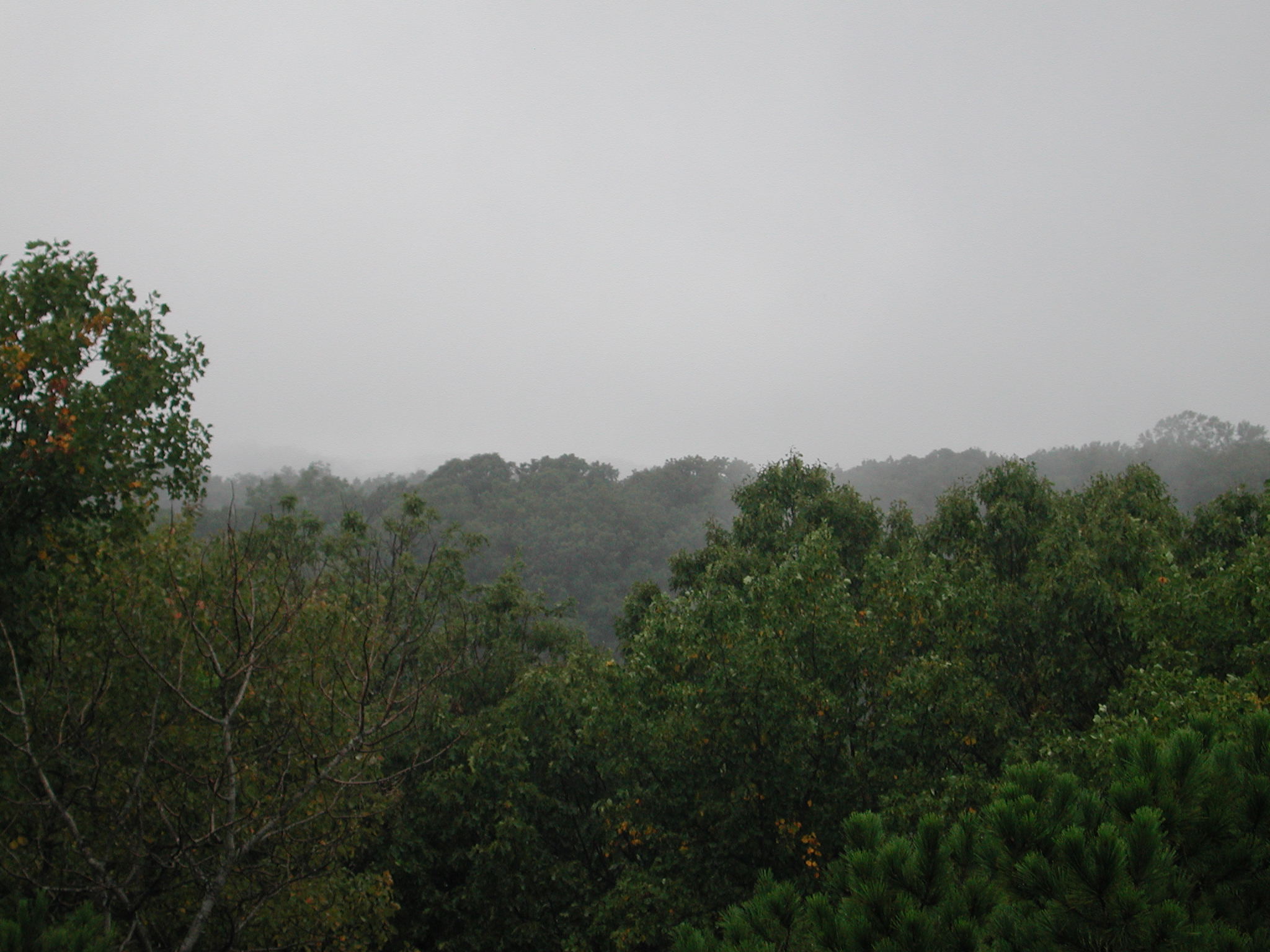


Tar Hollow
State Forest
| Tar Hollow State Forest at a Glance | |
| Date established: | Land acquired as WPA project in 1930s Dedicated as a state forest park in 1939 Split into state forest and state park in 1949 Land ceded by Federal government to state in 1958 |
| Acreage (total): | 16,120 acres (6,526 hectares) |
| Miles of trails: | 55 miles total (88 kilometers) |
| Trail miles open to horses: | 33 miles (53 kilometers) |
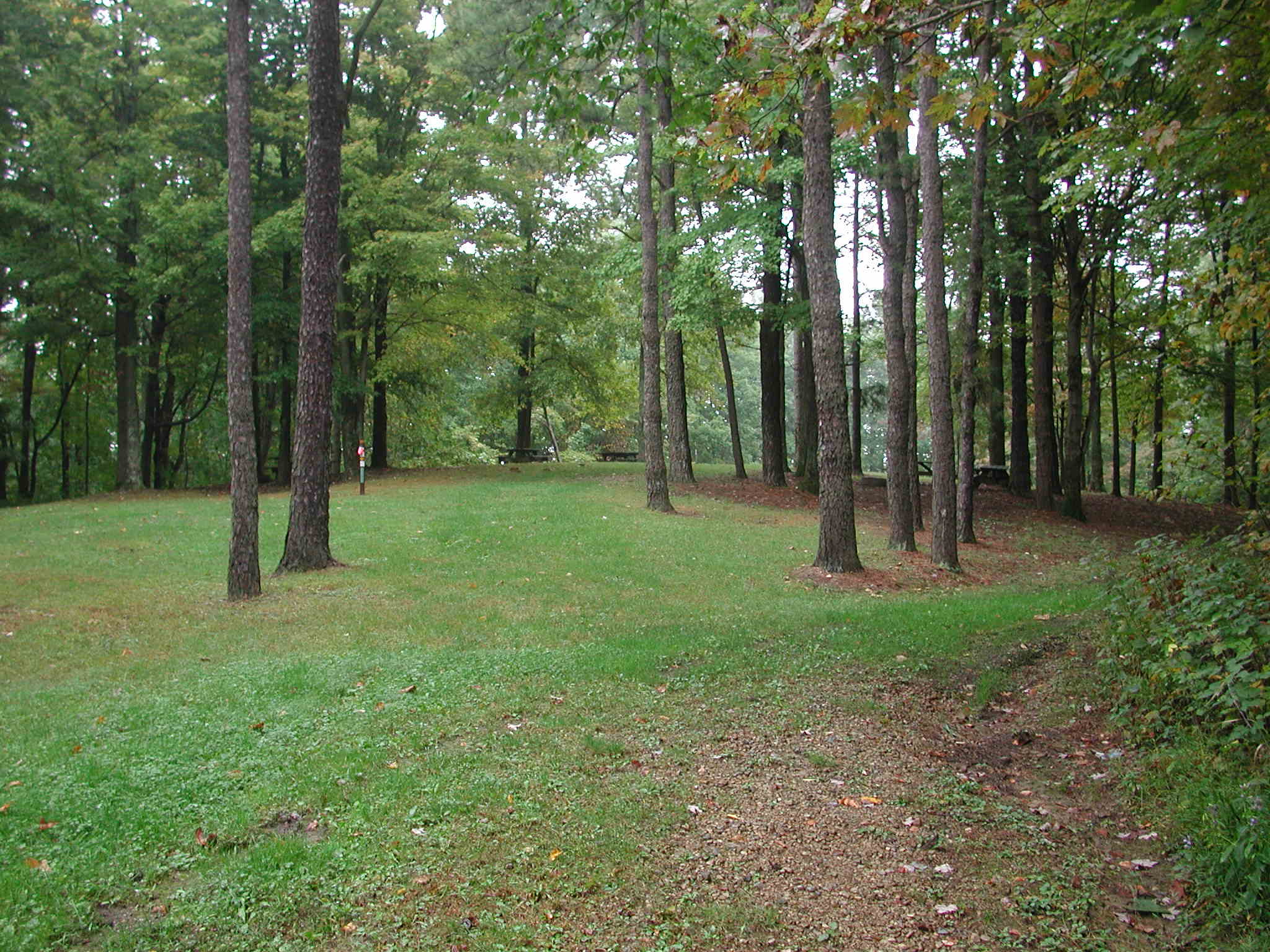
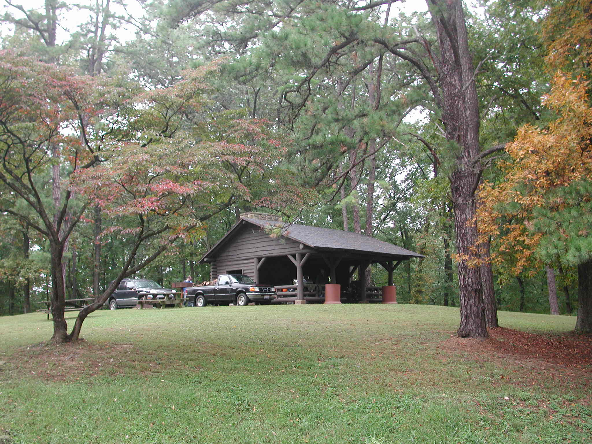
| Backpacking campsites: | 5 sites (see state park for other camping) |
| Horse camp campsites: | 46 primitive campsites |
| Hunting: | All hunting allowed (other than safety zones; no hunting allowed in state park) |
| Official state forest website: | http://forestry.ohiodnr.gov/tarhollow |
The name "Tar Hollow" refers to the production of pitch and other products from native pine trees.
The forest also features a 1,700-acre grouse management area.
Trails at Zaleski State Forest
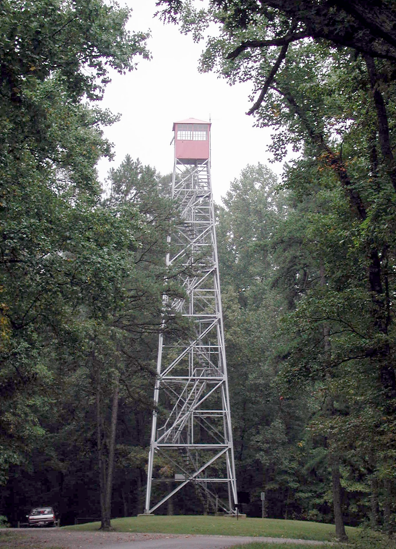
Note: The trail information below is from the state's information and as yet is unchecked in the field. Mileages are as yet unchecked. There is a backpacking campsite near the fire tower, in the state forest southwest of the park.- BENCAD Trail: Traverses the Forest and the Park; miles within these lands. Foot only. Blazed in light blue.
- Logan Boy Scout Trail: A "figure-eight" loop trail, with the cut-through at the fire tower. The full loop is 21 miles. Foot only. Blazed in red.
- Ross Hollow Trail: A 4.5-mile semi-loop trail between the campgrounds, mostly within the park. Foot only. Blazed in yellow.
- Bridle Trails: A network in the southern area of the state forest. 33 miles total. Horse and foot. Blazed in white.
- Homestead Trail: A short loop trail, southeast of the lake, mostly within the park. Bicycle and foot.
- Pine Run Bike Trail: A 2.5-mile mountain bike trail, beginning at the camp store.
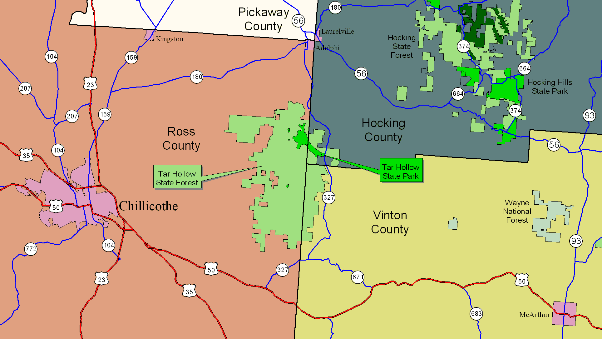
Directions to Tar Hollow State Forest
To reach Tar Hollow State Forest, take US-50 37 miles west from US-33 at Athens, to OH-671, going through McArthur on the way. This will be in western Vinton County. Turn right on OH-671 and go 4.6 miles to OH-327.For forest headquarters and the fire tower, then turn right on OH-327 and go 4.6 miles to Clark Hollow Road (State Forest Road 2). Turn left and go about a half mile to the forest headquarters. For the fire tower, go about 3.1 miles on Clark Hollow Road to South Ridge Road (State Forest Road 1). Turn right and go about 0.8 mile to the firetower. This is also where the backpacking camp for the BENCAD Trail is (you must register first in the state park office).
To reach the horse camp, when you take OH-671 to OH-327, go straight (bear to the left) instead of turning right. Go 1.7 miles on OH-327 to Poe Run Road (County Road 220) and turn right. Go 3 miles on Poe Run Road to the horse camp. Total driving distance from downtown Athens: about 37 miles.