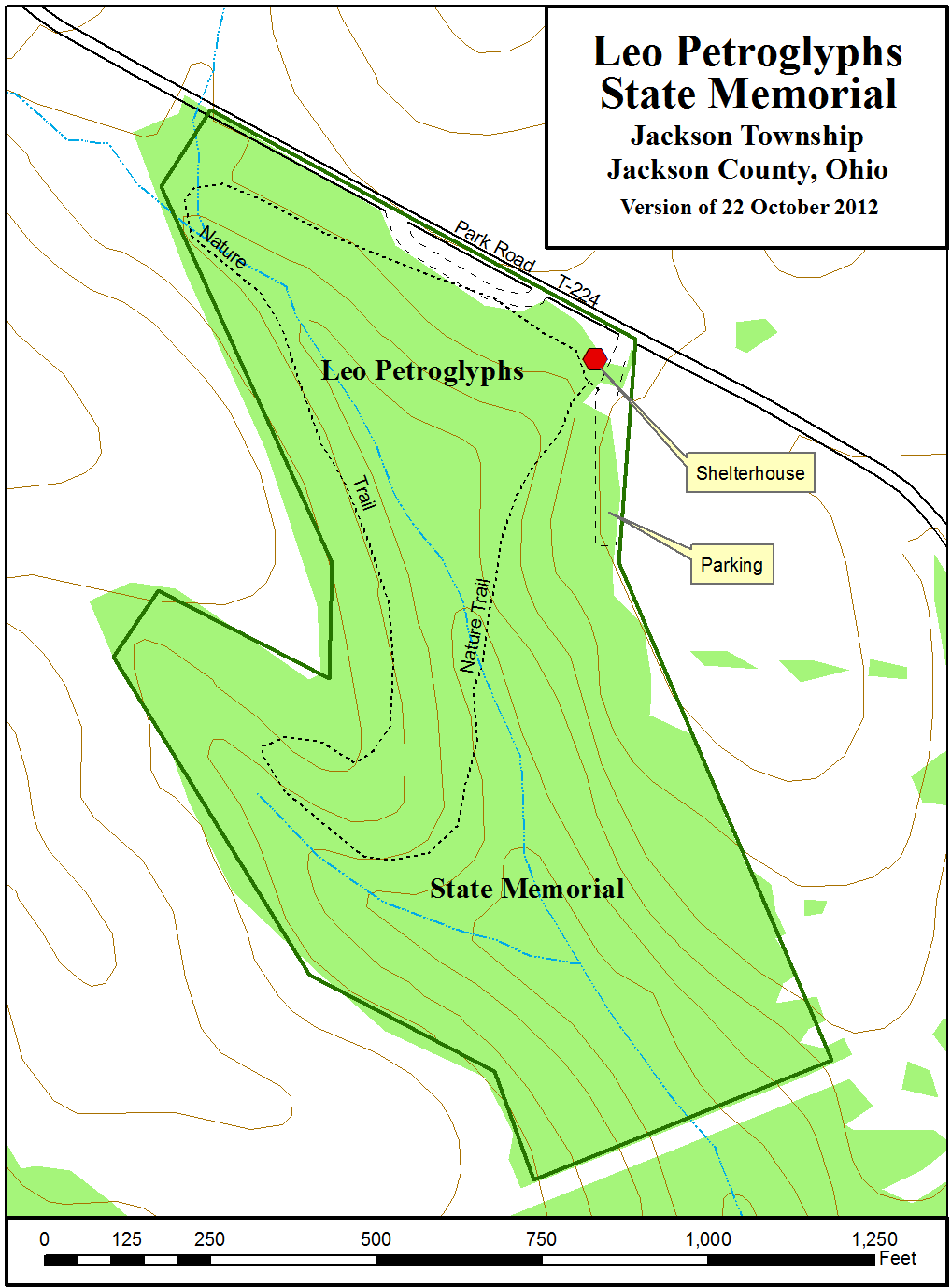


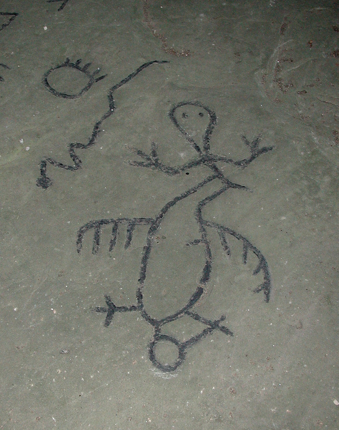
Leo Petroglyphs
State Memorial

The name Leo comes from the small settlement at the intersection of Sour Run Road and Raysville Road. The memorial is unstaffed, and open during daylight hours.
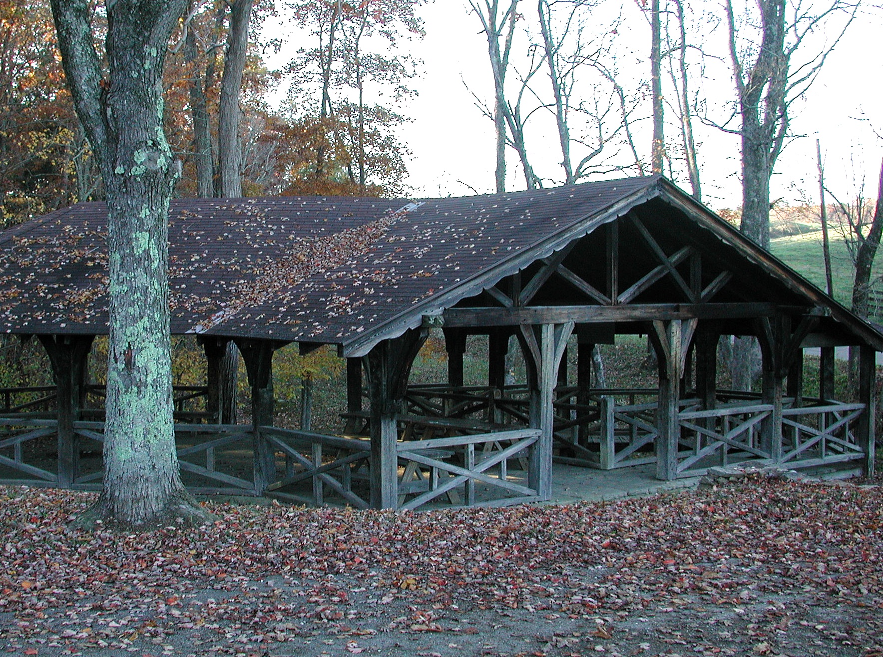
The core of the memorial features two gravel parking areas, picnic tables, and a shelterhouse. The shelterhouse shelters both the petroglyphs and features a picnic area.
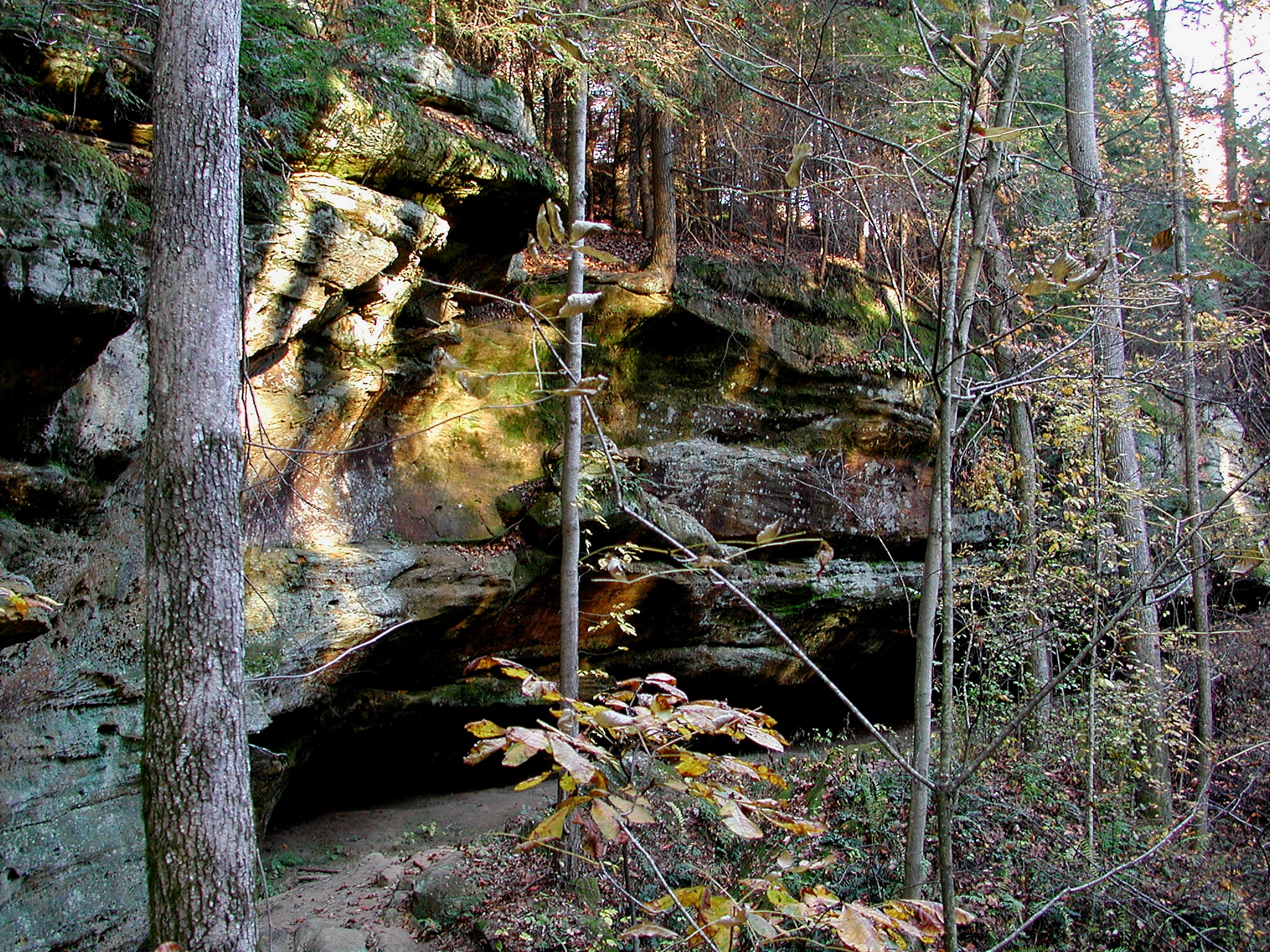
There is interpretive signage at the site, including along the nature trail.
Directions
To reach Leo Petroglyphs State Memorial from Athens, take OH-32 west 36 miles from OH-33 to OH-35. Take the north ramp onto US-35 and go 7.9 miles north to Sour Run Road, Township Road 28. Turn right on Sour Run Road and go 2.5 miles to Raysville Road, County Road 29. Turn left on Raysville Road, then immediately turn left on Park Road, Township Road 224, and go 0.4 mile to the parking area. Total driving distance from downtown Athens to the trailhead: about 49.4 miles.