


Wayne National Forest - Marietta Unit Hiking/Biking Trails
Trails Accessible from the Leith Run Recreation Area
- Scenic River Trail
- The Scenic River Trail is a 3.4-mile trail in Washington County: Independence Township, that connects the Leith Run Recreation Area with the BENCAD (North Country) Trail at County Road 9. In doing so, it ascends more than 500 feet from the river to the tops of the river bluffs. Except for the initial climb, this is a ridgetop trail with great views. Accessible from the Leith Run Recreation Area, a pulloff area on Ohio State Route 7, and County Road 9.
- River Scenic Loop Trail
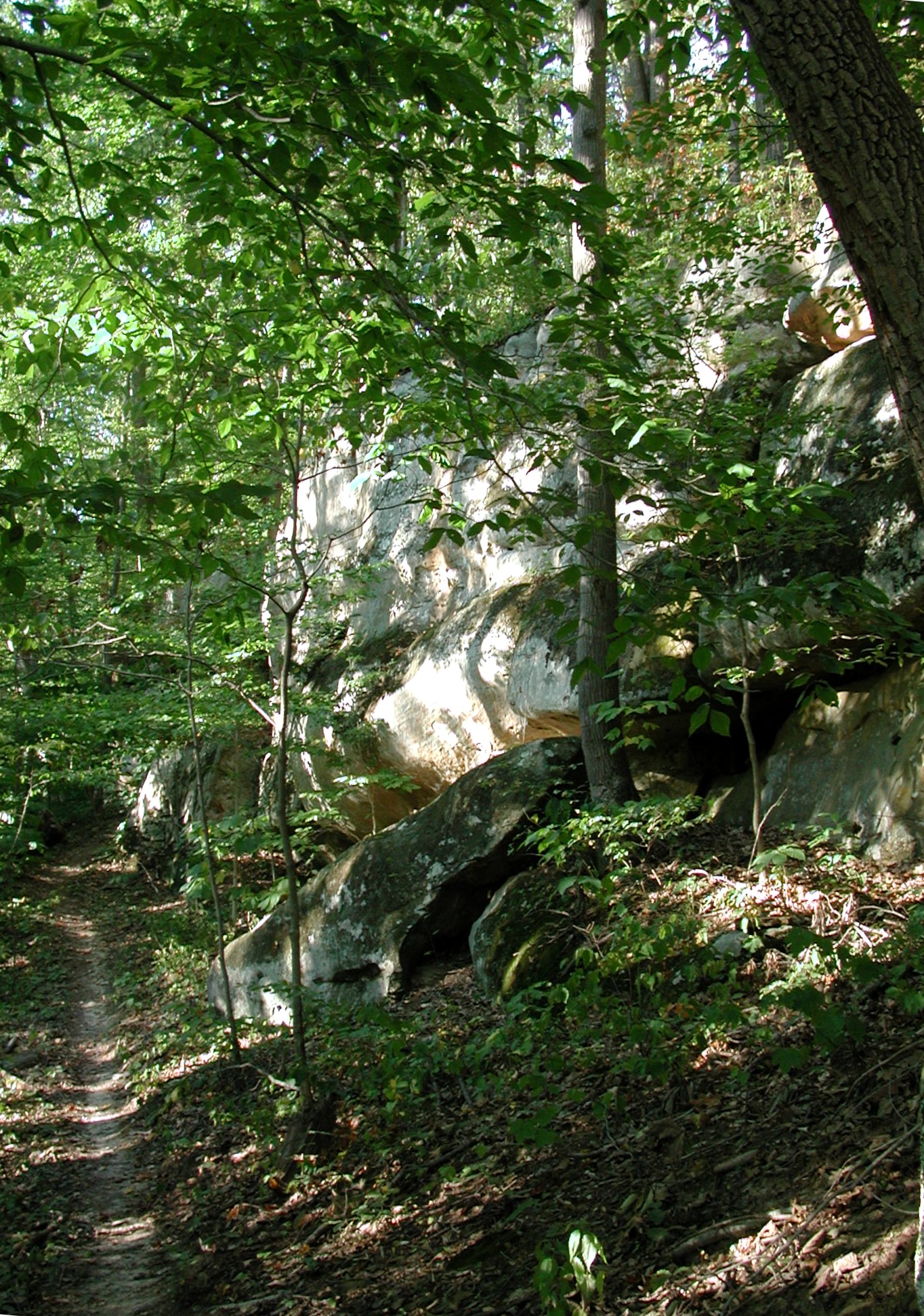
- This is a relatively new trail not shown on many maps. It is a 6 1/2-mile trail that loops out from and returns to the Scenic River Trail. It was built specifically for mountain biking, with long ascending and descending loops, so some hikers may not find it attractive. It passes by some very nice rock features. Not directly accessible from any road, but does have a close encounter with County Road 14 (Archers Fork Road).
- North Country National Scenic Trail
- Originally only the North Country Trail, this is also now part of an outloop on the Buckeye Trail, thus part of the BENCAD Trail system. There are 41 miles of this trail within Wayne lands, plus much more trail outside its boundaries. It connects with the Covered Bridge Connector Trail, below, the Scenic River Trail, the Archers Fork Loop, and the Lamping Homestead Trail.
Other Trails in the Marietta Unit
- North Country Connector Trail (to Covered Bridge Trail)
- This connector trail is a 2.9-mile loop trail, connecting the Covered Bridge Trail (below) with the BENCAD (North Country) Trail, above. It is a continous ridgetop trail except for its initial climb from the BENCAD Trail. It connects with the Covered Bridge Trail 1.5 miles ENE of its beginning on Smith Road, and connects with the BENCAD Trail at its crossing of Upper Archers Road.
- Covered Bridge Trail
- This is a 3.5-mile linear trail in Washington County: Independence and Ludlow Townships, with a tiny bit in Lawrence Township. It extends from Township Road 408 (Smith Road) just off Township Road 921 (Duff Road), to Township Road 407 (Haught Road). On the way, it intersects Township Road 35 (Scottown Road)and Duff Road, as well as the connector trail (above entry). The trail features one major (over 400 feet) and one minor ascent. There is no good road access from one end of the trail to the other, but an interesting loop may be had by taking the trail from its beginning on Smith Road to its crossing of Scottown Road. Take a left on Scottown and this will take you downhill to Smith Road; take a left on Smith Road to complete the loop. This loop is 5.8 miles, with 3.7 miles of it on back roads, and offers great views of the Little Muskingum River. The beginning on Smith Road is on the east side of the Little Muskingum River, just off Ohio State Road 26.
- Archers Fork Loop Trail
- The Archers Fork Trail offers a 3.4-mile loop off the BENCAD Trail in Washington County: Independence, Grandview, and Ludlow Townships, that, combined with that trail, offers an 8.8-mile loop trail opportunity. The Archers Fork Trail is the southeast side of the loop, while the BENCAD Trail is the northwest side of the loop in the same townships. The Archers Fork side is accessible from Township Roads 36 (Jackson Run Road), 58 (Irish Run Road), 421 (Bell Cemetery Road), and 427 (Wards Hollow Road). The BENCAD Trail side is accessible from Township Roads 36 (Upper Archers Road and Jackson Run Road), 410 (McCormick Hill Road), 411 (St. Patrick Cemetery Road) and 421 (Bell Cemetery Road). The entire loop features five major ascents, up to 300 feet.
- Archers Fork Loop - Ohio View Connector Trail
- This connector trail, in Washington County: Grandview Township, is relatively new and may not be shown on all maps. This trail is accessible from County Road 9 and Township Road 670 (Corbet Road). Approximately 3.6 miles long, almost half of which is shared with township roads. It connects with the courses of the Archers Fork Loop (at its crossing of Township Road 36, Jackson Run Road, on the ridgetop) and the Ohio View Trail (about 1.2 miles south of its northern terminus at Ohio Route 260). Two major ascents are featured (if going west), up to 300 feet.
- Ohio View Trail
- The Ohio View Trail is a 6.5-mile trail that ascends from its southern terminus on Ohio State Route 7 to its northern terminus on Ohio State Route 260, all in Washington County: Grandview Township. This is a fairly strenuous trail that passes over multiple ridges and valleys. It is also accessible from Township Road 22 (Sheets Run Road) and Township Road 428 (Holdren Road).
- Lamping Homestead Trail
- The Lamping Homestead Trail is a small loop-trail system rather isolated from the rest of these trails listed, except for the BENCAD Trail. It is located in Monroe County: Washington Township. This is a 3.4-mile loop trail at the Lamping Homestead Picnic Area, which see.

Directions to Marietta Unit Trails
To reach the Leith Run Recreation Area, take US-50 east and continue on OH-7 after US-50 turns off (which point is about 28.8 miles east of US-33 at Athens). Take OH-7 about another 40 miles through Marietta to the turnoff, which will be about 40.6 miles after US-50 turns off, about 22.8 miles after the Muskingum River bridge and about 20.2 miles after passing under I-77. Look for signs; the turnoff will be on the right. Total driving distance from downtown Athens: About 71 miles.The OH-7 trailhead for the Ohio View Trail is about 3.4 miles northeast of the turnoff for the Leith Run Recreation Area, or about 23.6 miles after passing under I-77.
To reach the southern terminus of the Covered Bridge Trail, take US-50 east and continue on OH-7 after US-50 turns off. Take OH-7 to the east side of Marietta, and turn left on OH-260, before the I-77 overpass. Go about 18.2 miles to Smith Road, T-408. Turn right, across the Little Muskingum River, and go 0.1 mile, and turn left to trailhead.
To reach the ridgetop trailhead for the Scenic River Trail, and access to the BENCAD Trail and the River Scenic Loop, take US-50 east and continue on OH-7 after US-50 turns off. Take OH-7 about another 40 miles through Marietta to Archers Fork Road, Co-14, which will be about 21.6 miles after the Muskingum River bridge and about 19.0 miles after passing under I-77. Turn left and go 2.3 miles up the hill to County Road 9 on the ridgetop. Turn right on County Road 9 and go 1.4 miles to the parking area, on the right. Archers Fork Road is about 1.2 miles before the turnoff to the Leith Run Recreation Area.

