

Tar Hollow
State Park
| Tar Hollow State Park at a Glance | |
| Date established: | Land acquired as WPA project in 1930s Dedicated as a state forest park in 1939 Split into state forest and state park in 1949 |
| Acreage (total): | 604 acres (245 hectares) |
| Water acreage (Pine Lake): | 15 acres (6 hectares) |
| Boat ramps: | One (electric motors only) |
| Miles of trails: | 26 miles total (42 kilometers) |
| Trail miles open to horses: | 25 miles (40 kilometers; actually in adjacent Tar Hollow State Forest) |
| RV-friendly campsites: | 71 electric |
| Regular campsites: | 11 non-electric |
| Primitive campsites: | 12 |
| Backpacking campsite: | 5 |
| Shelter camps: | 7 |
| Hunting: | No hunting allowed in the state park, but allowed in the adjacent state forest |
| Official park website: | http://parks.ohiodnr.gov/tarhollow |
| Local park website: | http://www.tarhollowstatepark.com/ |
| Park office telephone: | 740.887.4818 |
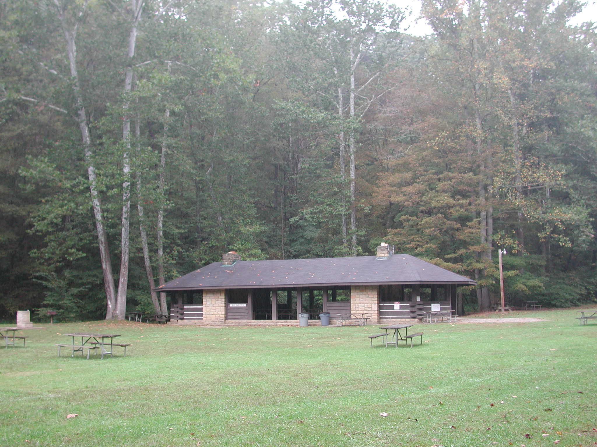
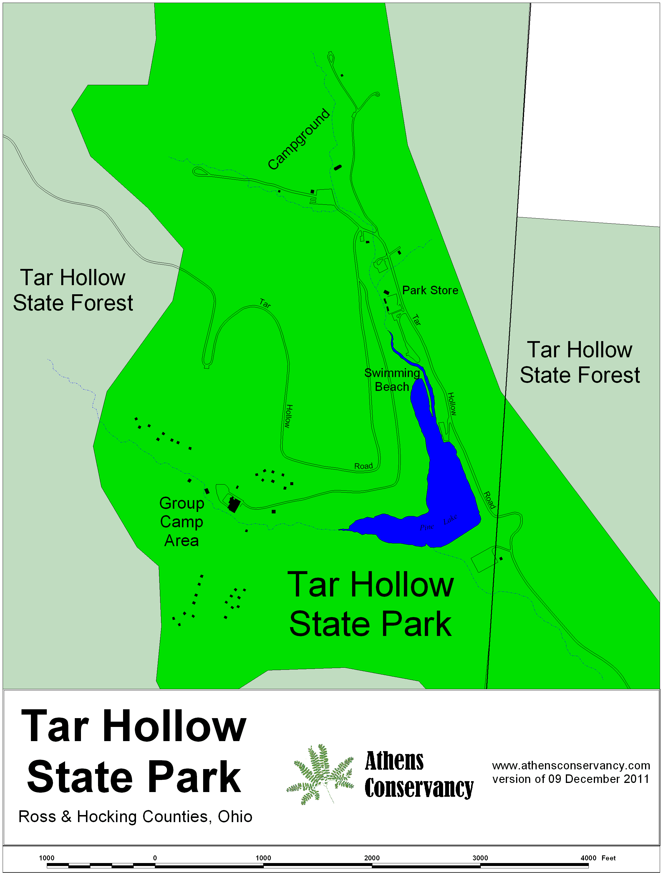
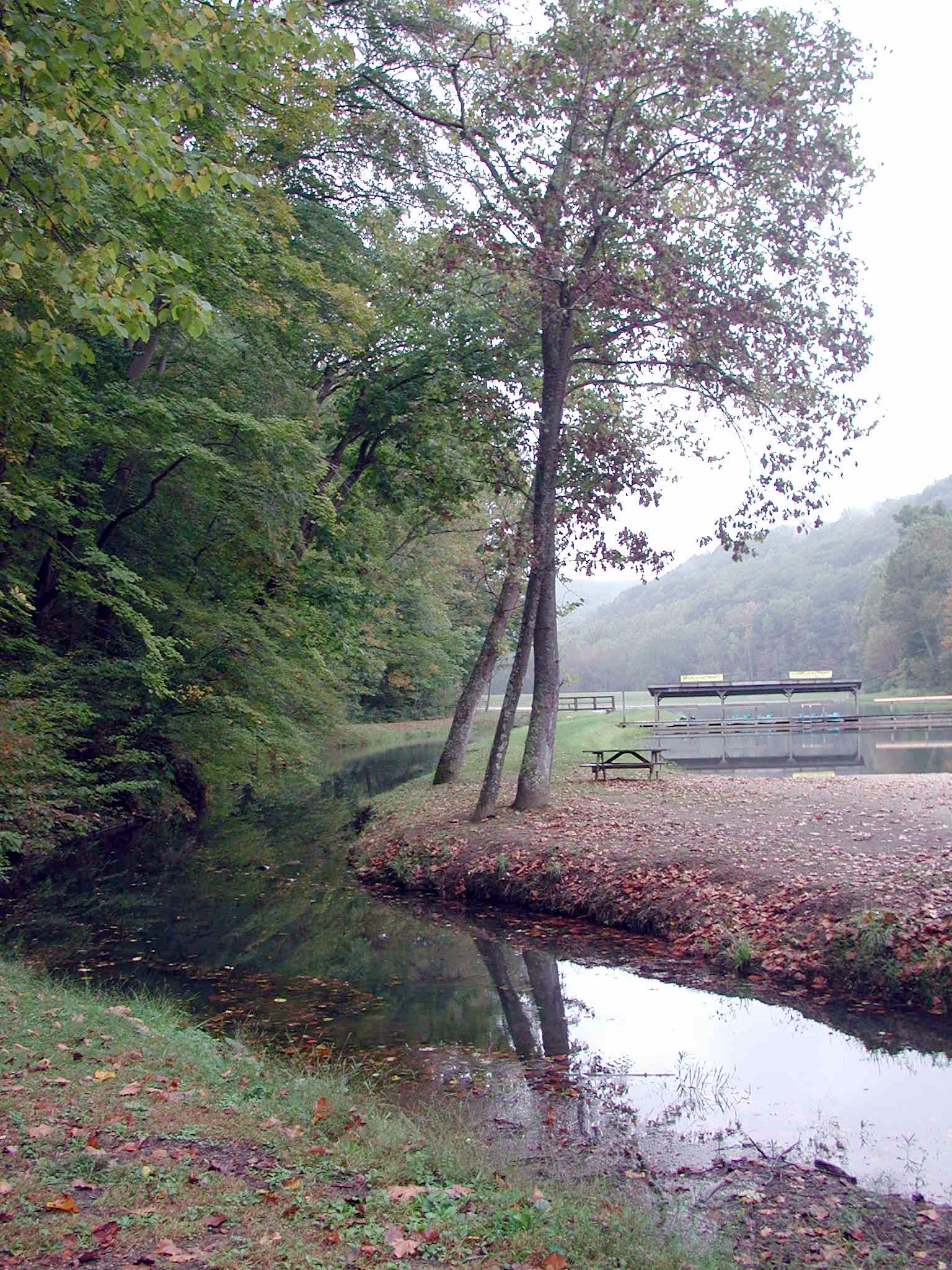
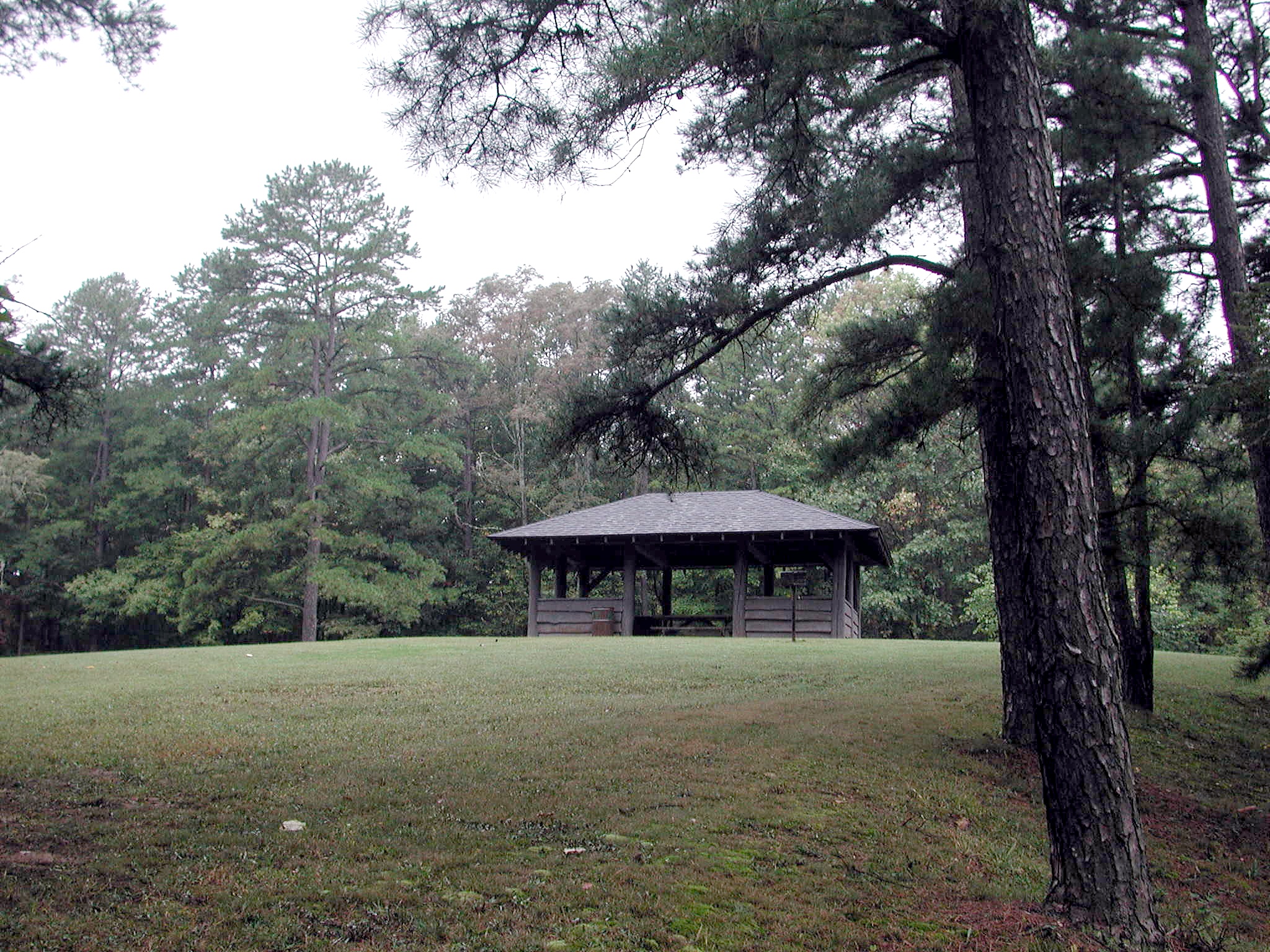
There are three campgrounds in the main area, one of which specializes in RVs. There are another four campgrounds to the west, embedded within the state forest on top of the ridge, plus a backpacking campground for the Buckeye Trail. There is a 15-acre lake, Pine Lake, with a swimming beach at the top end. There is a boat ramp on the lake, but only electric motors are allowed. Other park amenities include group camping cabins, two amphitheaters, a miniature golf course, a game room in the park center (at the miniature golf course), volleyball courts, a pavilion (Big Shelterhouse) and picnic areas.
Trails at Tar Hollow State Park and Forest
Note: The trail information below is from the state's information and as yet is unchecked in the field. Mileages are as yet unchecked. There is a backpacking campsite near the fire tower, in the state forest southwest of the park.- BENCAD Trail: Traverses the Forest and the Park; miles within these lands. Foot only. Blazed in light blue.
- Logan Boy Scout Trail: A "figure-eight" loop trail, with the cut-through at the fire tower. The full loop is 21 miles. Foot only. Blazed in red.
- Ross Hollow Trail: A 4.5-mile semi-loop trail between the campgrounds, mostly within the park. Foot only. Blazed in yellow.
- Bridle Trails: A network in the southern area of the state forest. 25 miles total. Horse and foot. Blazed in white.
- Homestead Trail: A short loop trail, southeast of the lake, mostly within the park. Bicycle and foot.
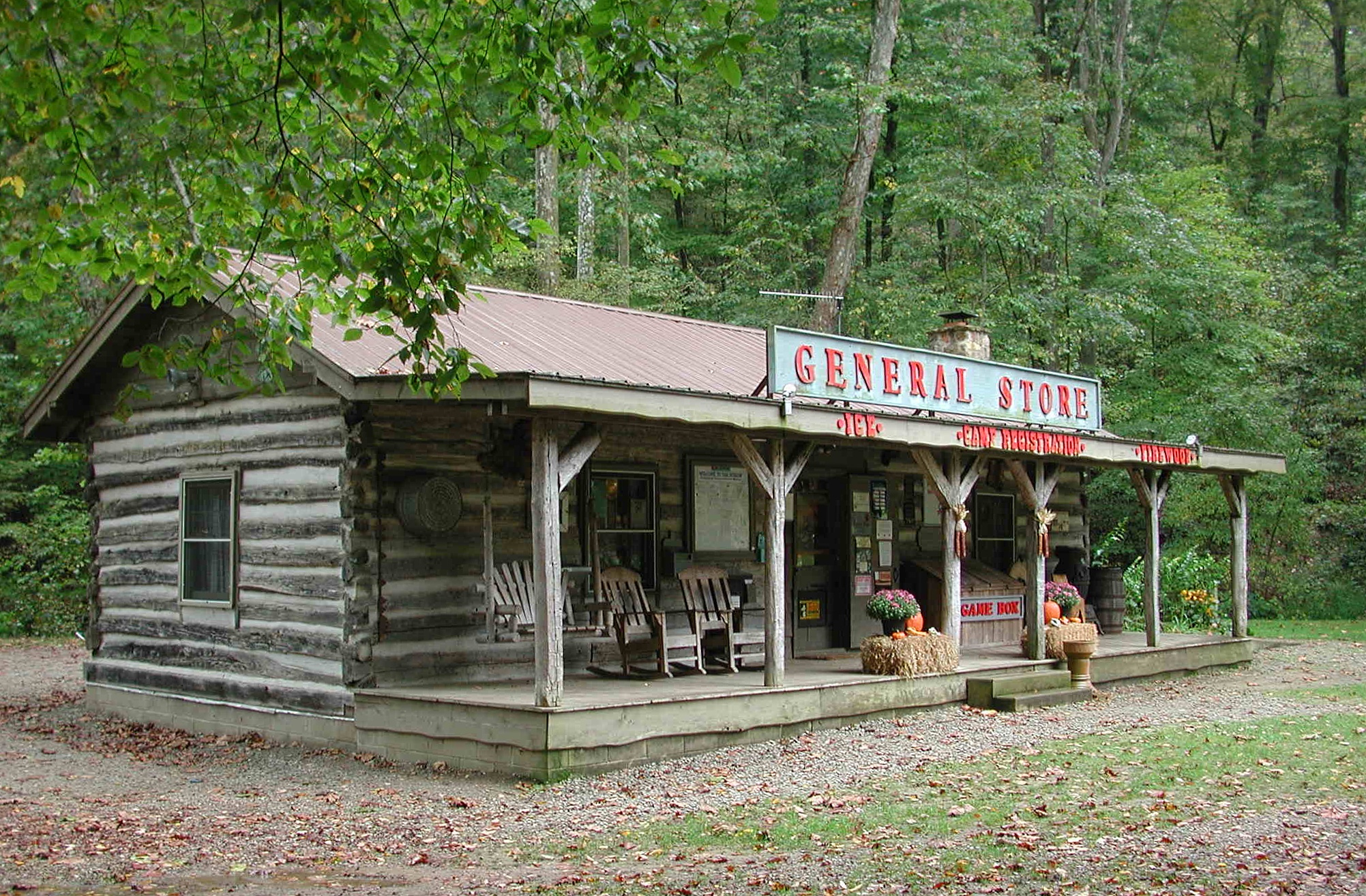
- Pine Run Bike Trail: A 2.5-mile mountain bike trail, beginning at the camp store.
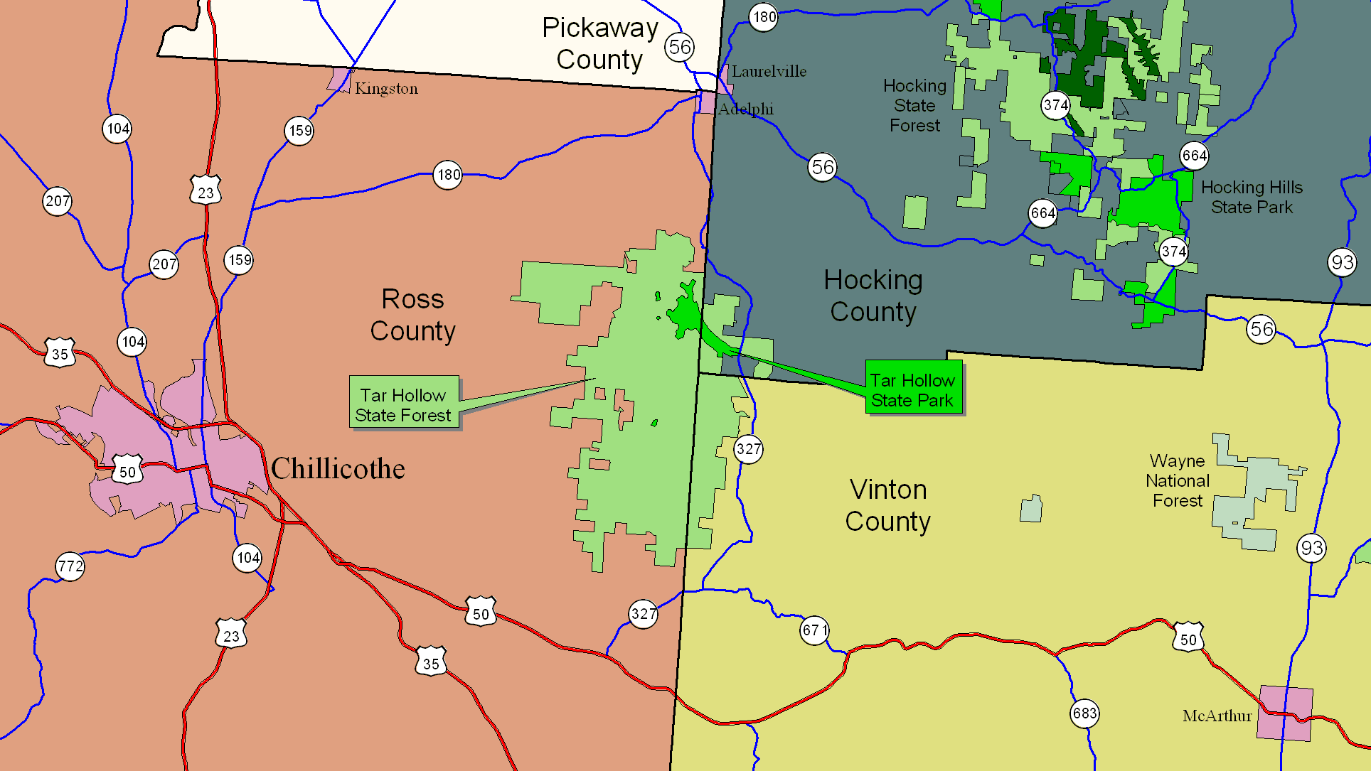
Directions
To reach Tar Hollow State Park, take US-50 37 miles west from US-33 at Athens, to OH-671, going through McArthur on the way. This will be in western Vinton County. Turn right on OH-671 and go 4.6 miles to OH-327. Turn right on OH-327 and go 6.8 miles to the park entrance, which will be on the left. The park drive is fairly long.